Geological Feature
Overview
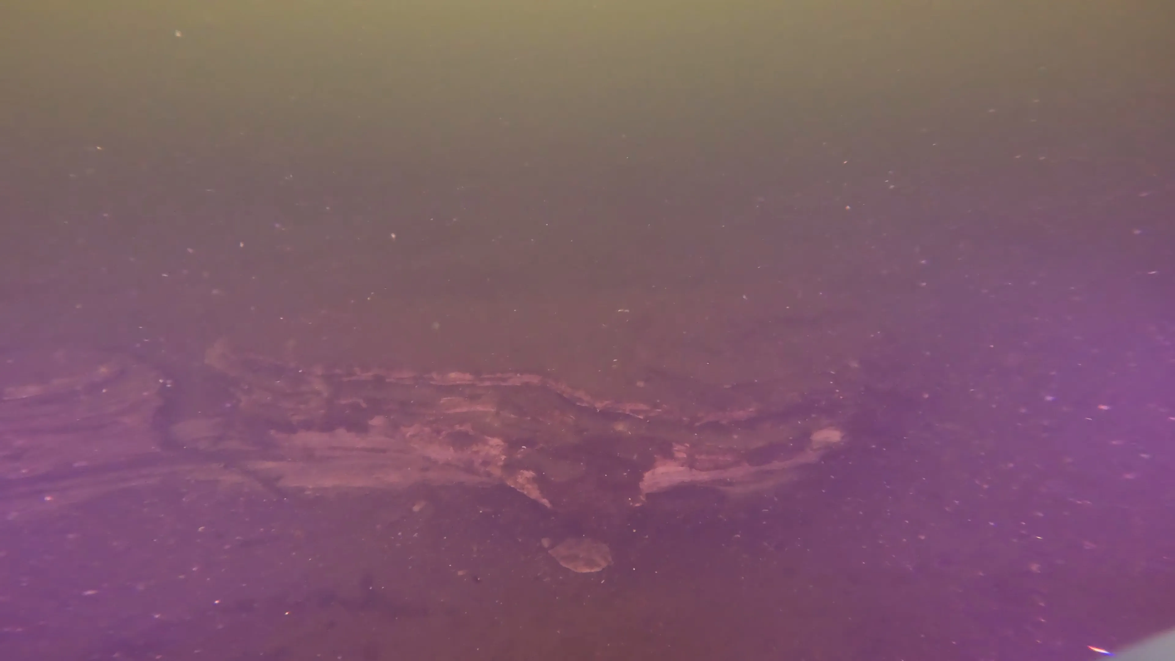
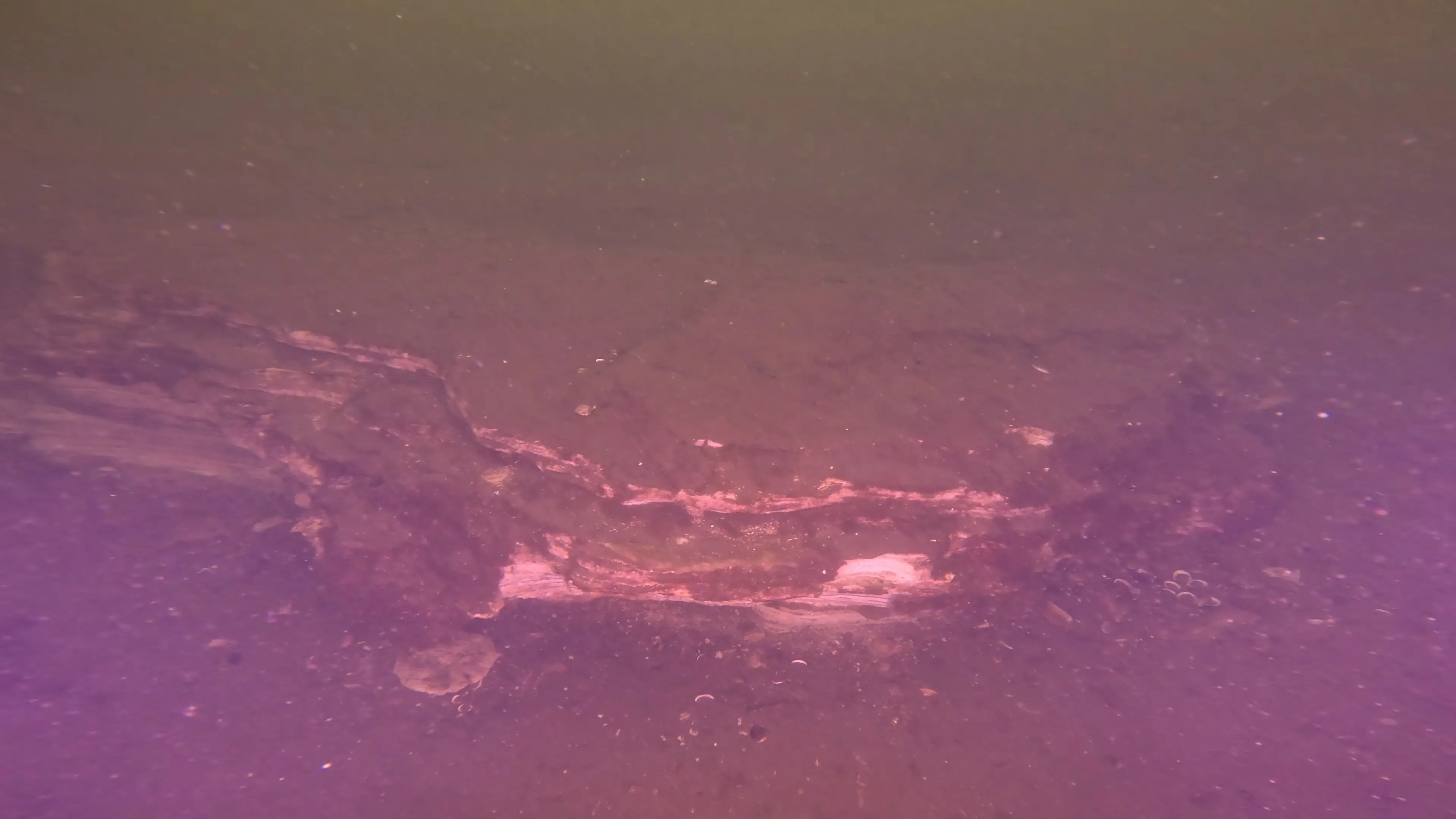
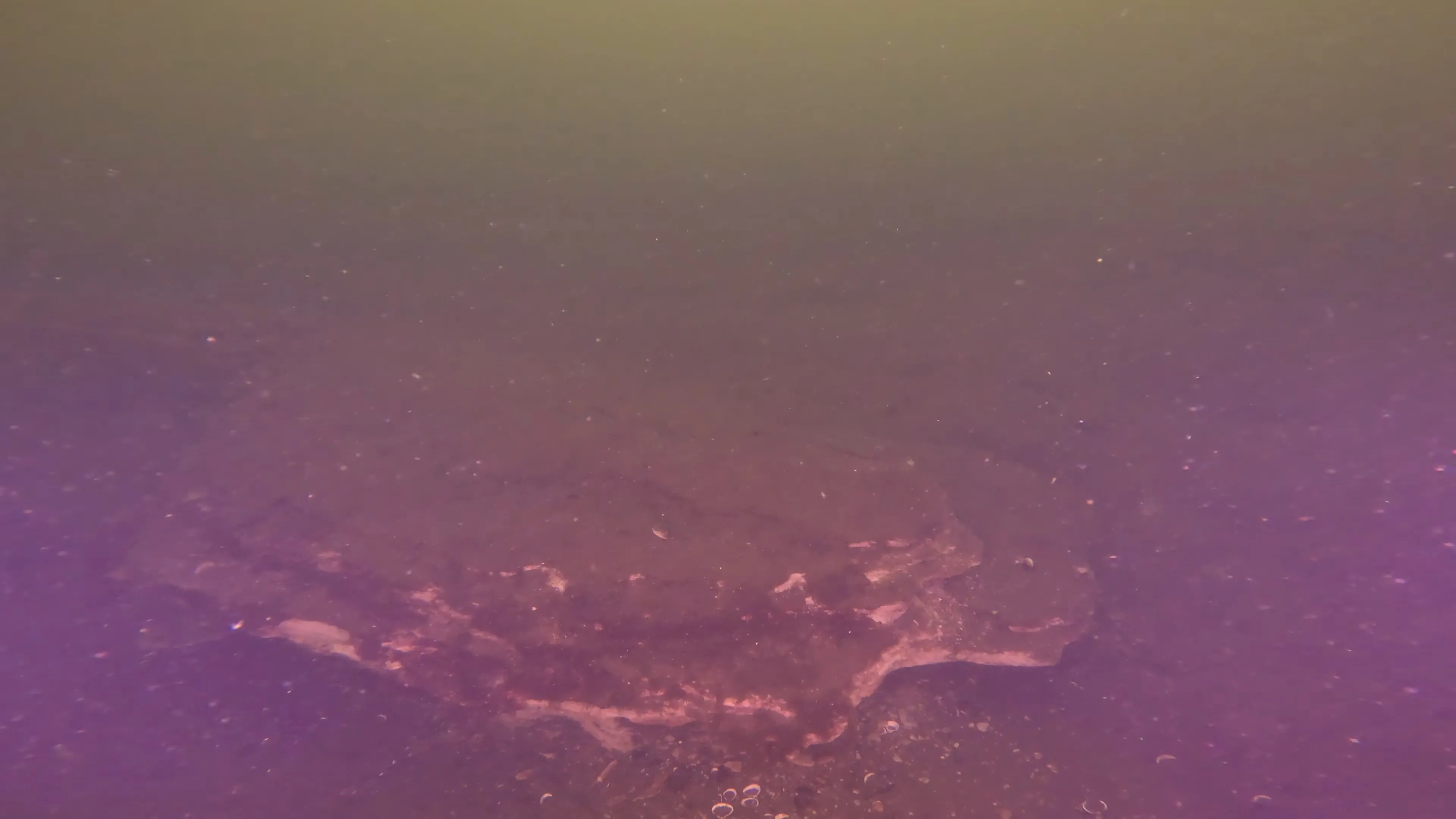
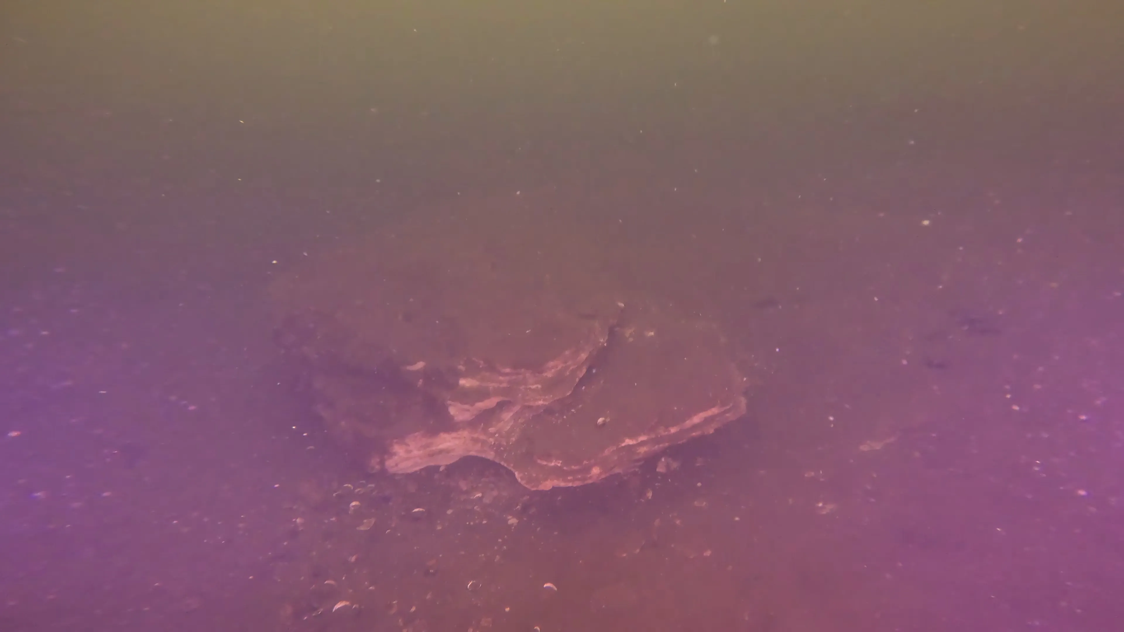
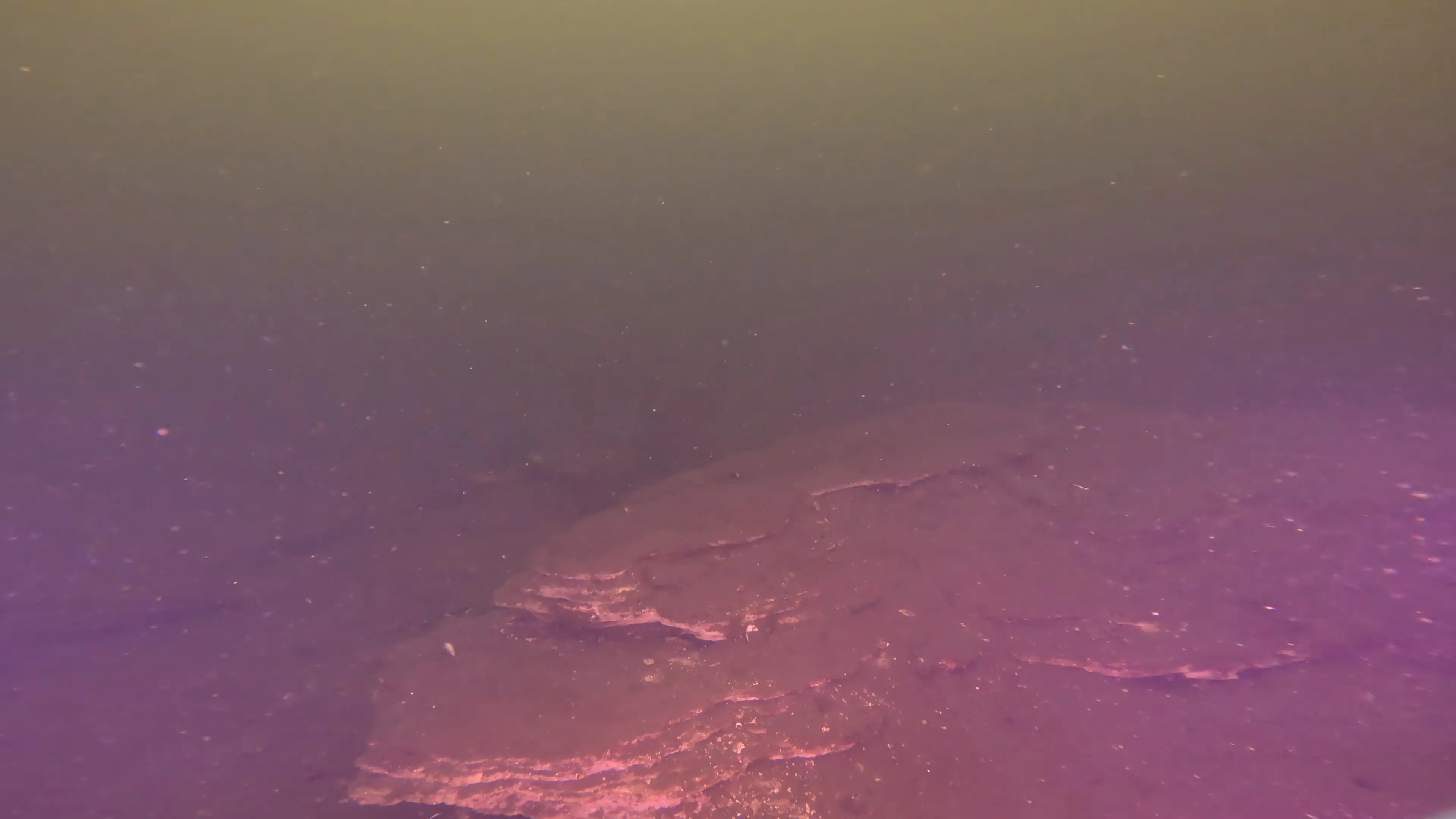
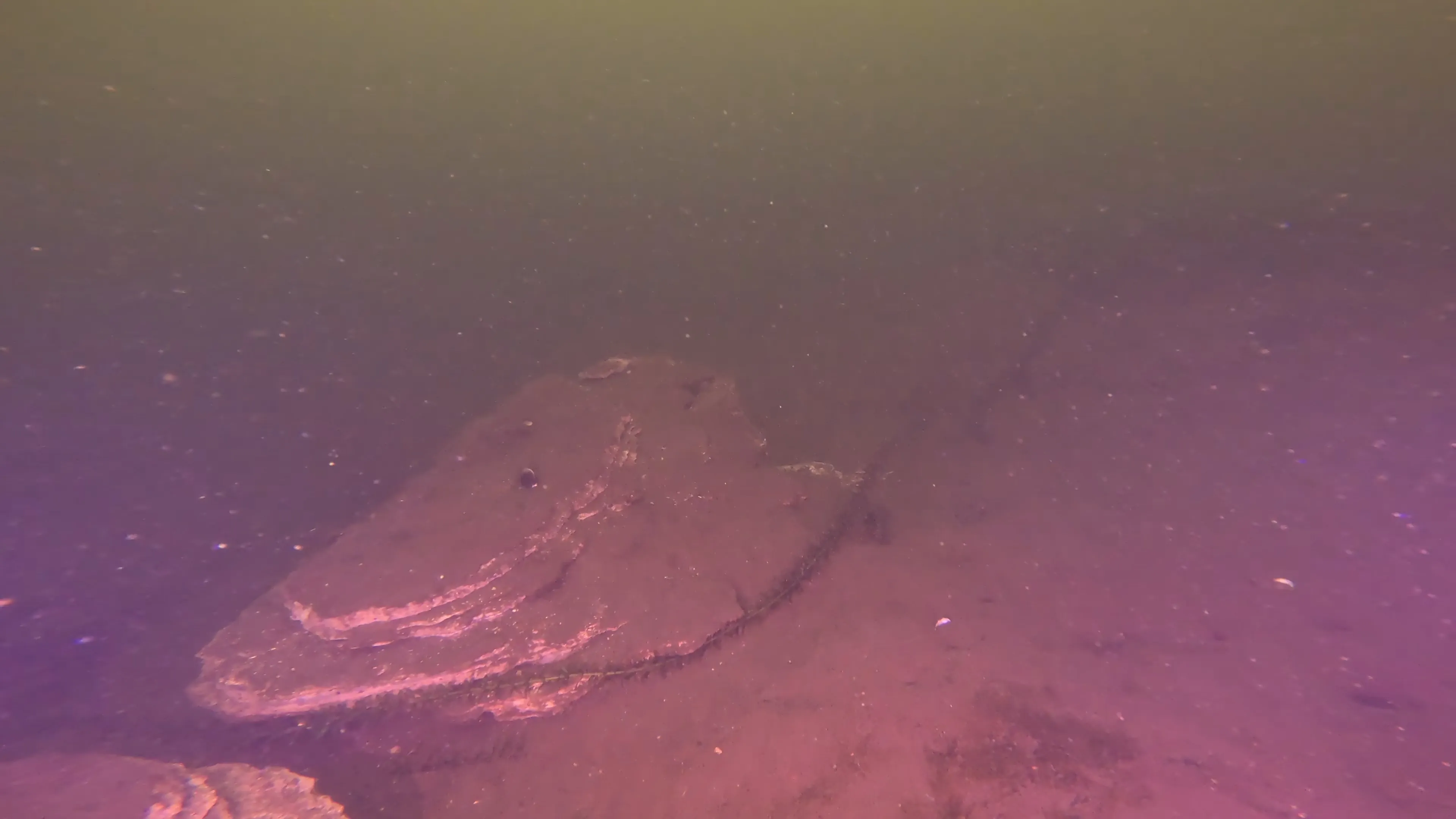
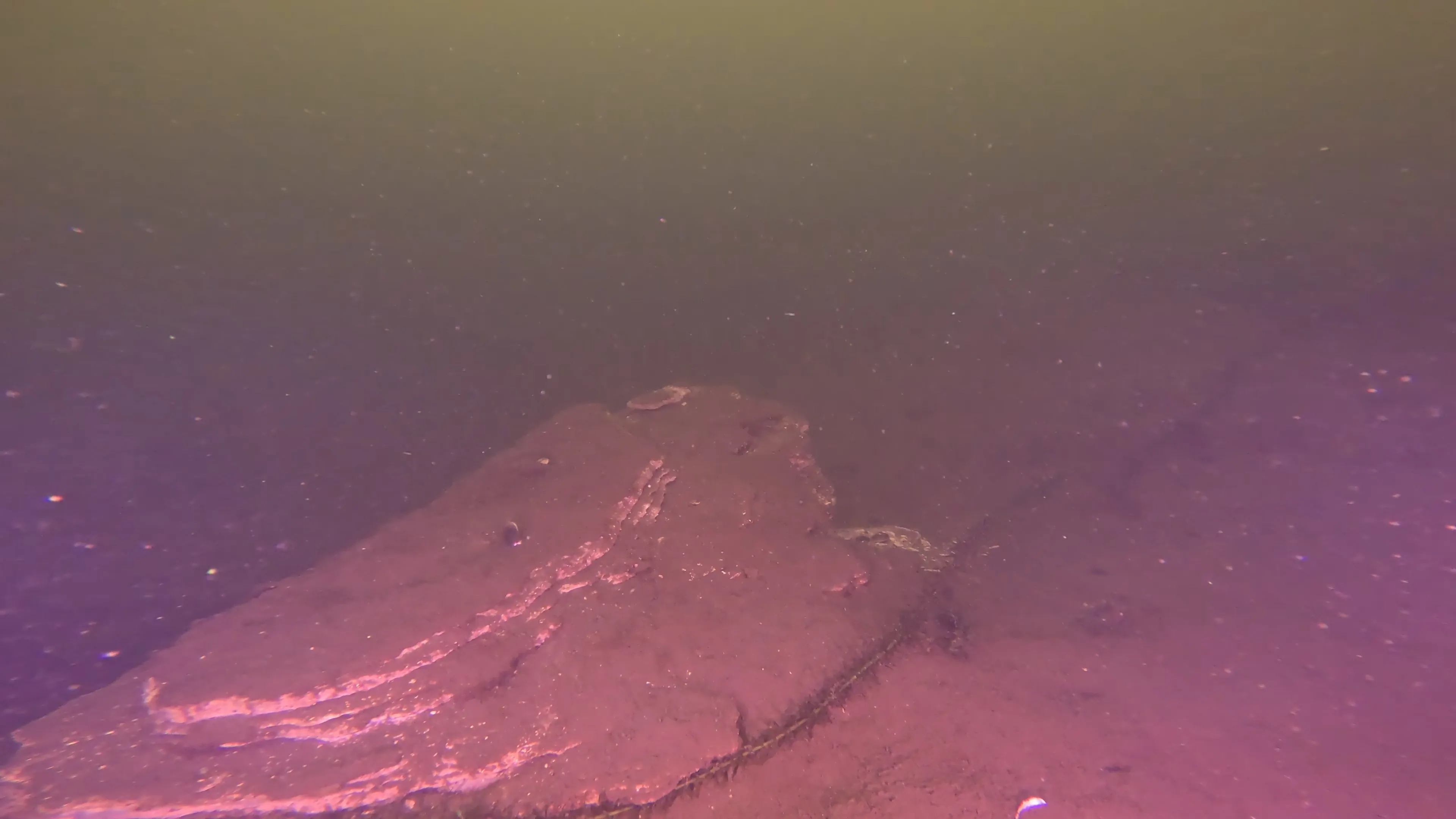
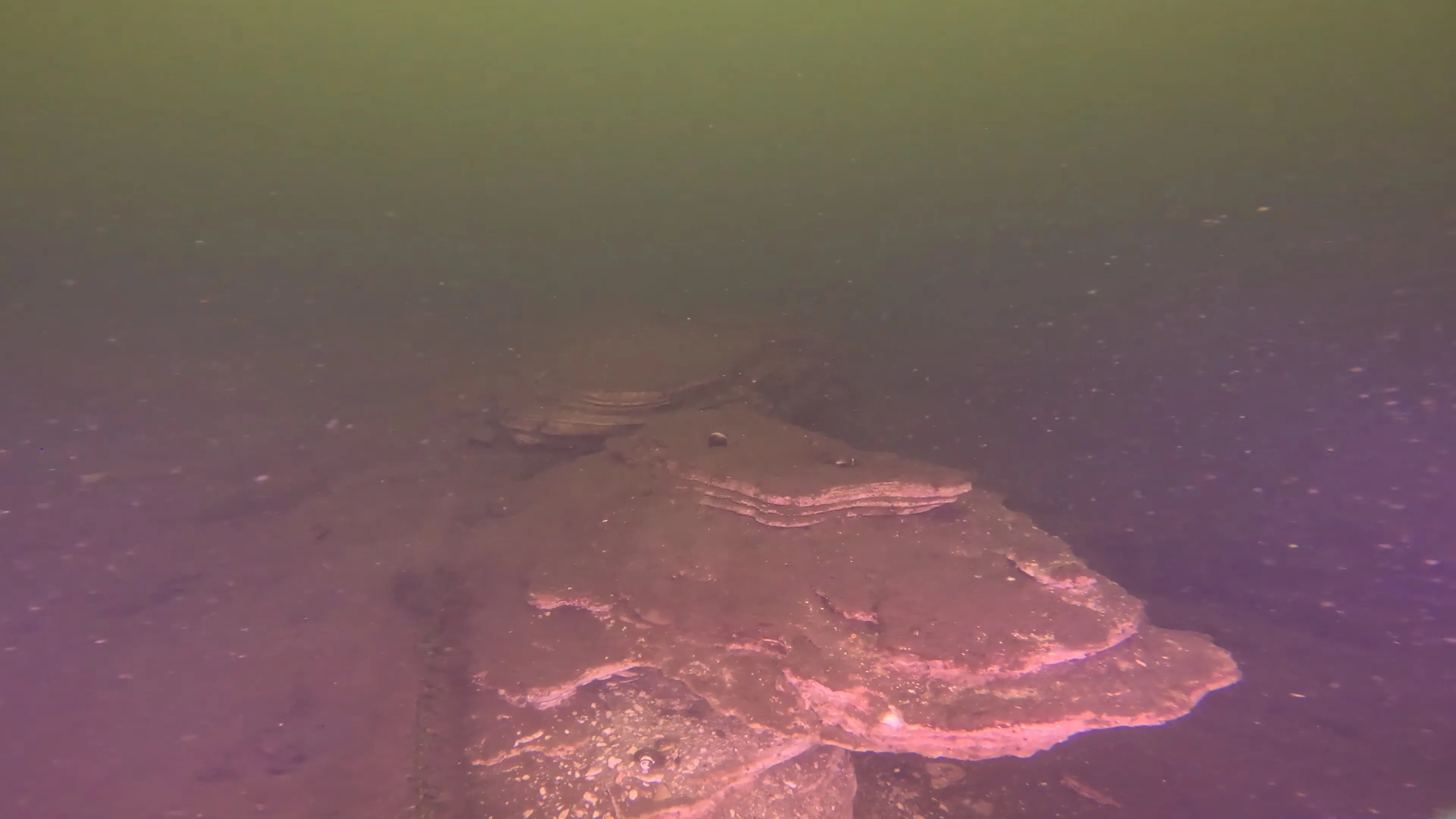
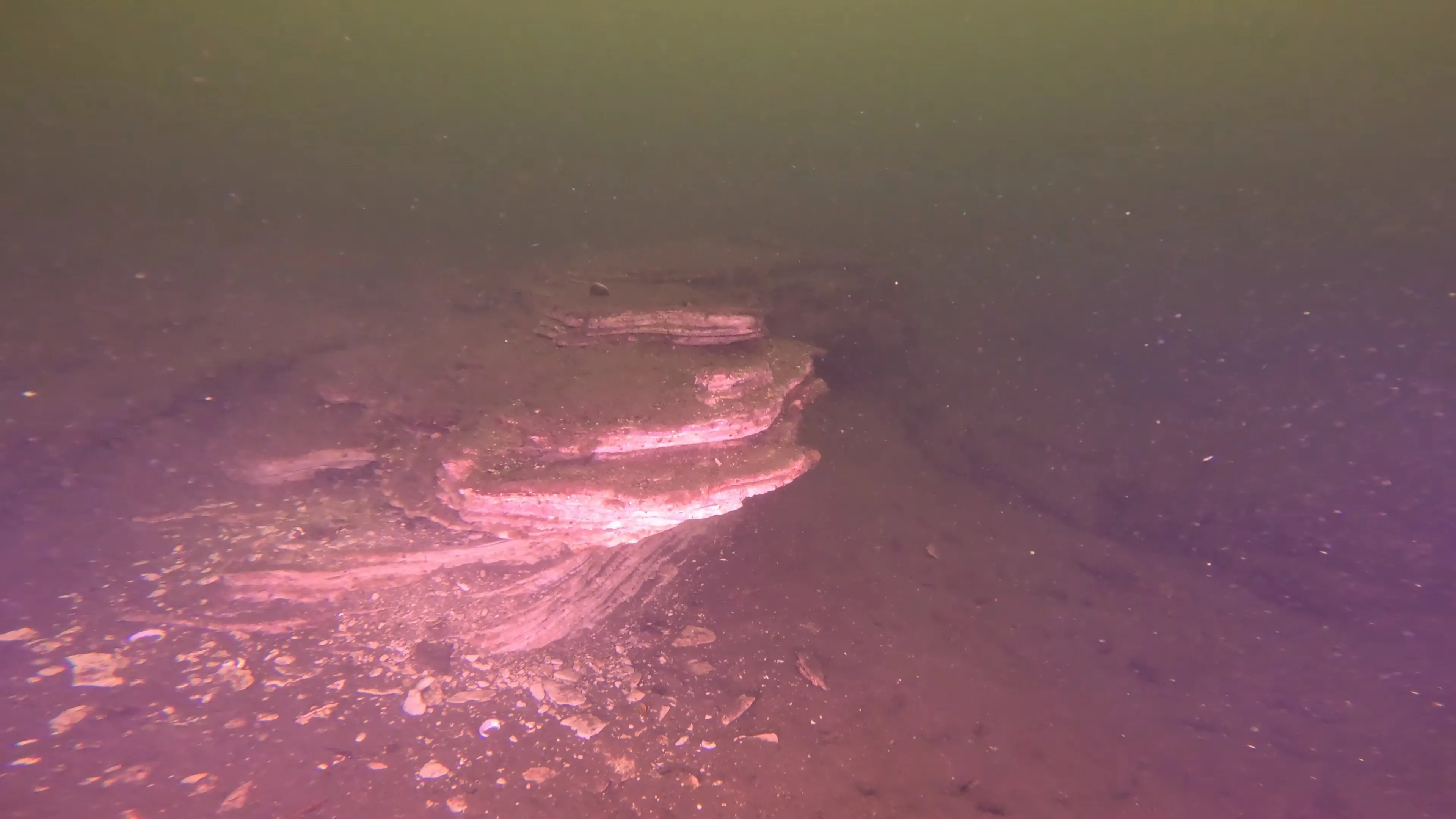
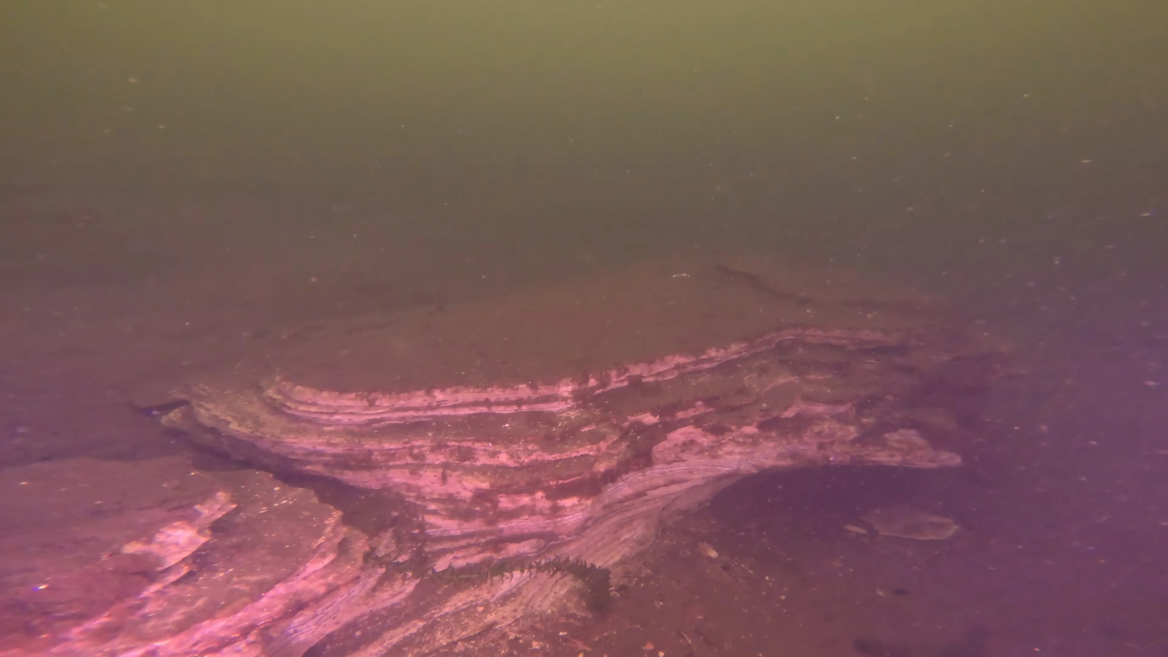
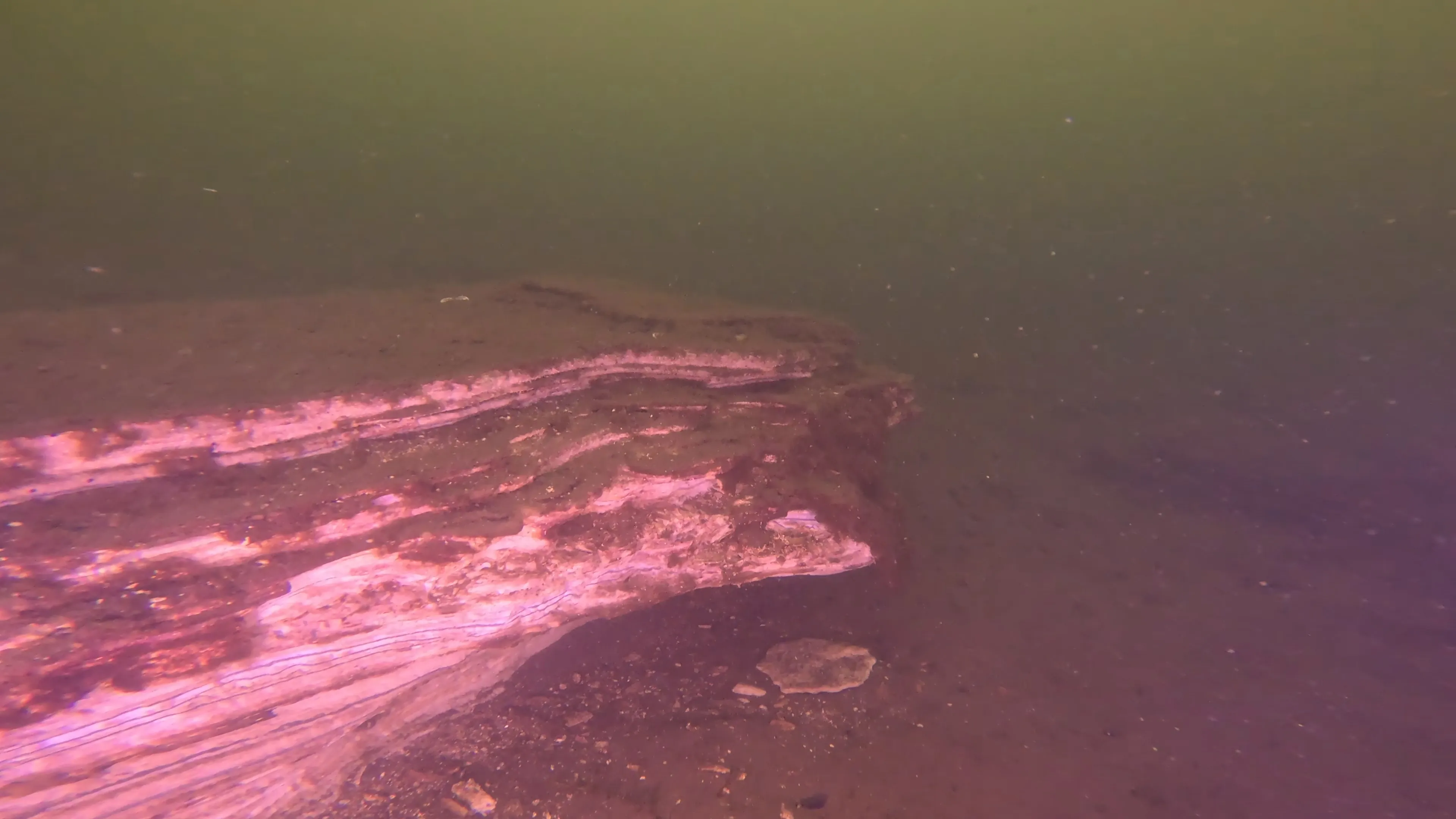
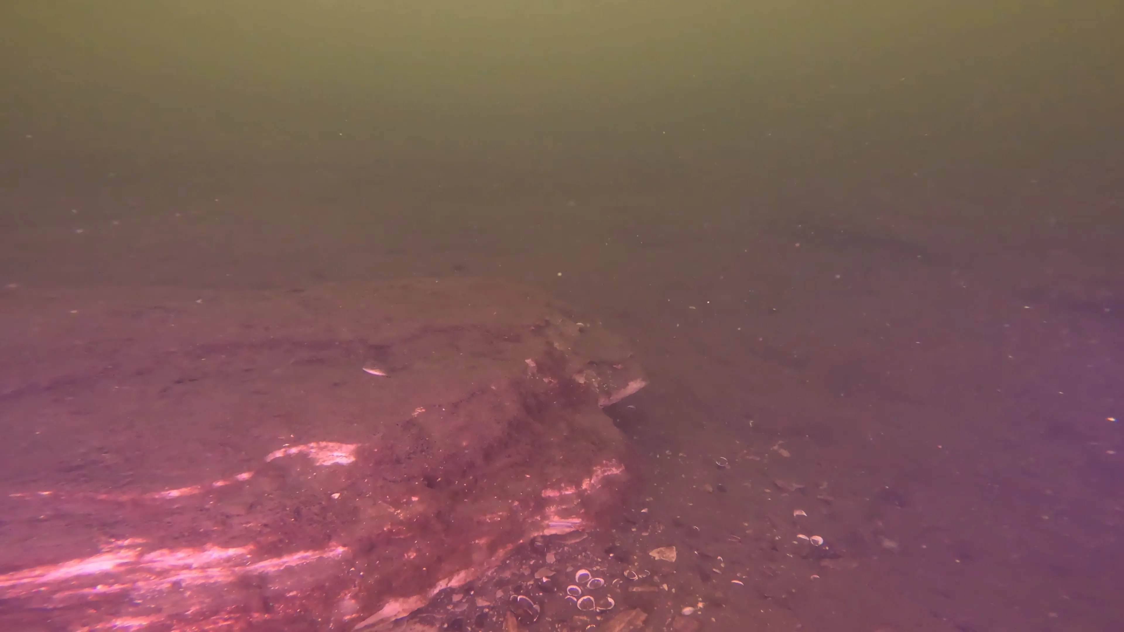
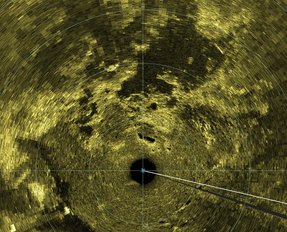
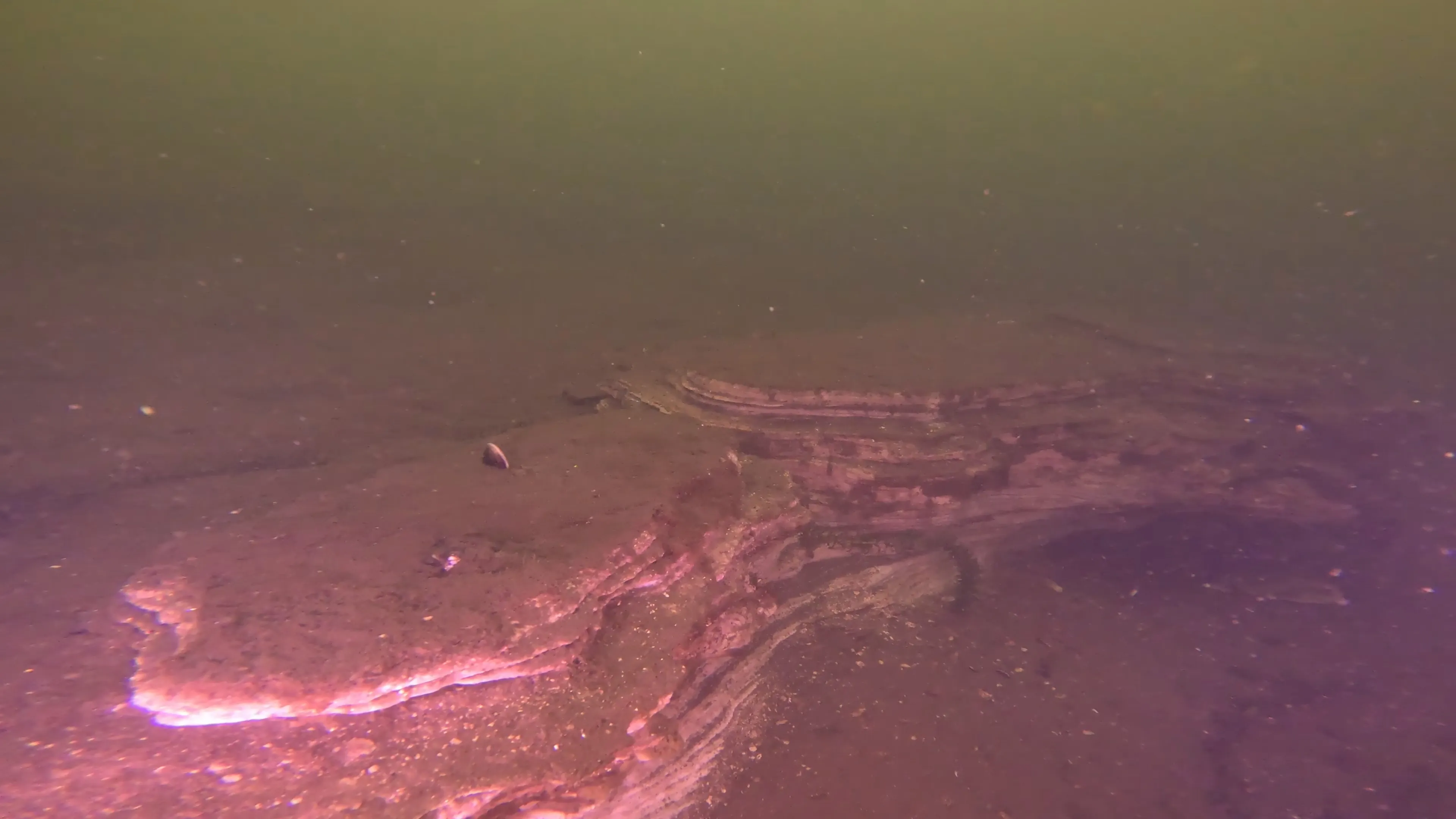
This target has been classified as a sedimentary rock formation, measuring roughly 15 feet by 8 feet. No depth is currently recorded for the target. The formation sits low against the lakebed and consists of a broad, irregular exposure of layered rock, with portions partially embedded in sediment. Visible features include numerous thin, overlapping sedimentary layers with pronounced horizontal to gently banding, broken and eroded edges, and several sections where individual layers project outward from the main formation.
No corresponding prior documentation from Coastal Sensing & Survey, DCS Films, or the Lake Union Virtual Museum has been identified for this target in the material reviewed to date.
Shipwreck City is actively researching the geologic history of the Puget Sound region to better understand the natural processes that shaped Lake Union and the surrounding landscape. As we learn more, additional geological context may be added to this target and other geological features documented in the archive.
Links & Resources
Coastal Sensing & Survey: No record available from this source for this target
DCS Films: No record available from this source for this target
Lake Union Virtual Museum: No record available from this source for this target