Long before Seattle existed, the shores of Lake Union were part of the homelands of the Duwamish people. The Xacuabš — Lushootseed for "People of the Large Lake" — were a network of related villages spread across Lake Washington, Lake Union, and the Sammamish River, using these waters for travel, fishing, and daily life for thousands of years.
One of the most well-documented residents of the lake itself was Cheshiahud, sometimes called "Lake Union John," a Duwamish leader who homesteaded five acres on the lake's eastern shore near present-day Shelby Street after befriending Seattle pioneer David Denny. Cheshiahud and his wife Madeline lived on Lake Union into the early 1900s, guiding early settlers around the lake and Lake Washington, before relocating to the Port Madison Reservation. The Cheshiahud Loop, the trail that still circles Lake Union today, carries his name forward.
As Seattle expanded in the early 1900s, engineers turned to Lake Union not just as a waterway but as a tool. During the Denny Regrade — the decades-long project that leveled Denny Hill between downtown and Queen Anne — crews pumped as much as 20 million gallons of water a day out of Lake Union, blasting it through sluice pipes to wash the hill's soil down to Elliott Bay.
The lake that would later hide a century of shipwrecks was, for a time, the engine driving one of the most dramatic reshapings of the city built around it.
The single biggest change to Lake Union's shoreline — and arguably the reason so many of the wrecks on today's map exist at all — came with the Lake Washington Ship Canal. When the Montlake Cut and Fremont Cut opened in 1917, connecting Lake Union to Lake Washington and Puget Sound, engineers lowered Lake Washington by nine feet to match the canal's grade, permanently redrawing shorelines across the whole watershed.
The canal also opened Lake Union to serious industry. Lake Union Dry Dock, founded in 1919 just after the canal's completion, became one of the longest continuously operating shipyards in the country. The Fremont Tugboat Company, founded in 1915 by Cap Webster to tow logs to nearby mills, is still moving vessels through the lake today. And as fiberglass made wooden boatbuilding obsolete through the mid-1900s, Dick and Colleen Wagner's Center for Wooden Boats — founded in 1976 — became one of the last places on the water actively fighting to keep that craft, and its history, alive.
In 1941, the U.S. Navy broke ground on a Naval Reserve Armory on the southern shore of Lake Union, dedicating the building on July 4, 1942 — just months after Pearl Harbor. For decades, the Armory trained active-duty and reserve sailors headed for service from World War II through Operation Desert Storm. The Navy handed the building over to the city in the 1990s, and after a $90 million restoration, it reopened in 2012 as the home of the Museum of History & Industry (MOHAI) — putting Lake Union's institutional memory in the very building where its sailors once mustered.
Between the shipyards, the tugs, the Navy, and the abandoned wooden hulls of a fading industry, this era likely left more debris on the lakebed than any other.
Long before Shipwreck City's ROV ever entered the water, a handful of divers, filmmakers, and researchers were already mapping what lay beneath Lake Union. Dan Warter and the DCS Films team scuba dived dozens of the lake's wrecks between roughly 2010 and 2020, capturing the majority of historical underwater video that exists of the lake today.
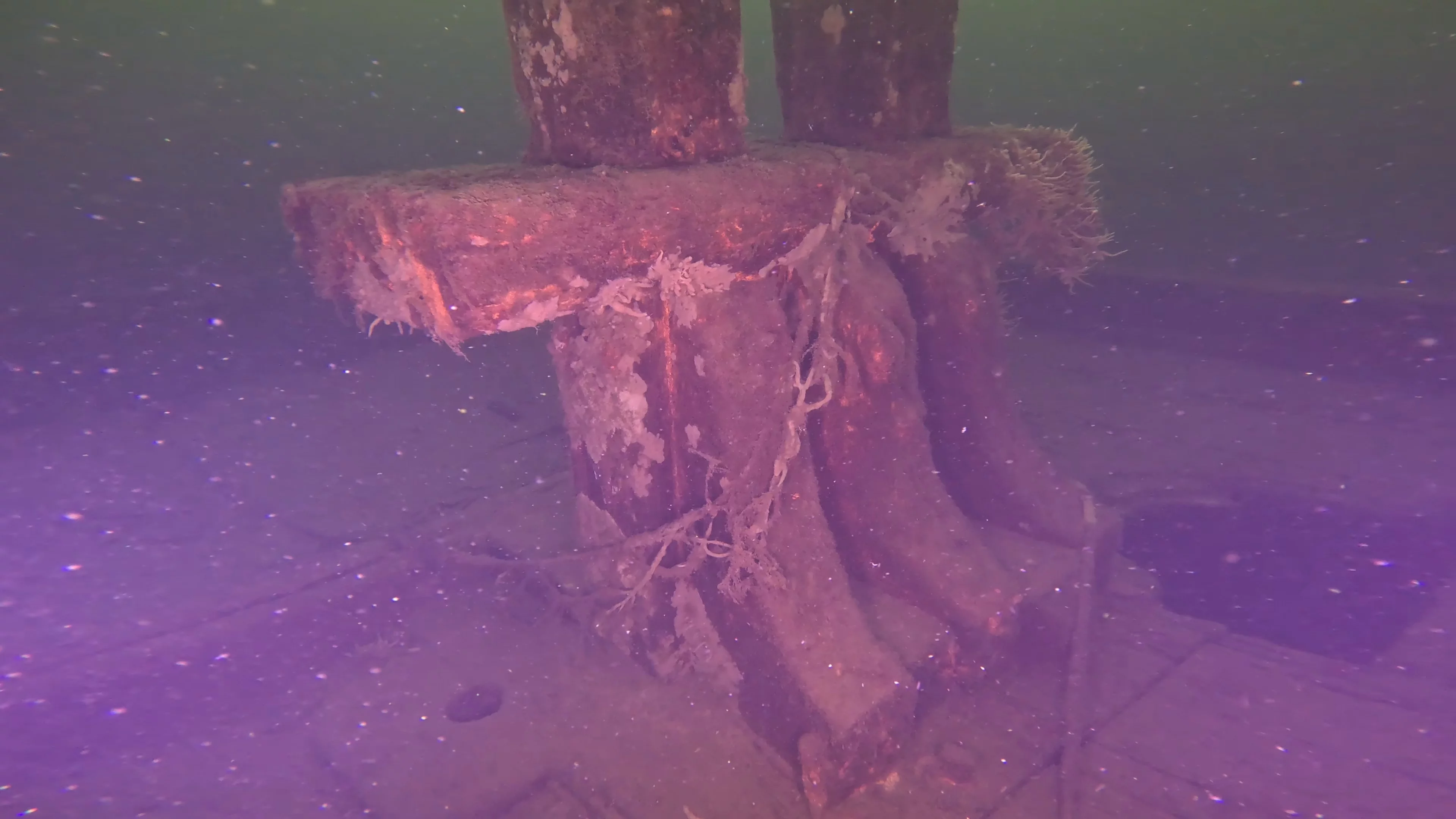
Around the same period, divers with the Maritime Documentation Society were independently locating and logging wrecks — including the WWII-era minesweeper Gypsy Queen and the 1888 tugboat J.E. Boyden pictured above — as part of their broader mission to document historic shipwrecks before they're lost for good.
In 2017, Ben Griner of Coastal Sensing and Survey conducted the first comprehensive side-scan sonar survey of the lake, producing measured records of nearly 100 submerged targets and establishing the baseline map that Shipwreck City still works from today. Much of this early footage and research now lives on Vaun Raymond's Lake Union Virtual Museum, an online archive built to preserve exactly this kind of history.
When Shipwreck City compared Coastal Sensing and Survey's ~100 logged targets against the roughly 50 that had ever actually been filmed, the gap was obvious — and became the project's reason for being. Using an ROV named Finn, equipped with side-scan sonar and 4K cameras, the team is working through that list one target at a time: confirming what's down there, capturing high-resolution footage no one has seen before, and cross-referencing every find against the historical record left behind by the divers, filmmakers, and surveyors who came before.
It's less a new chapter than a continuation of the same one — using different tools to keep documenting a lake that's been quietly collecting its own history for well over a century.