The project
ABOUT
THE DIVE
The story behind the Shipwreck City project and volunteer team making it happen.
The story behind the Shipwreck City project and volunteer team making it happen.
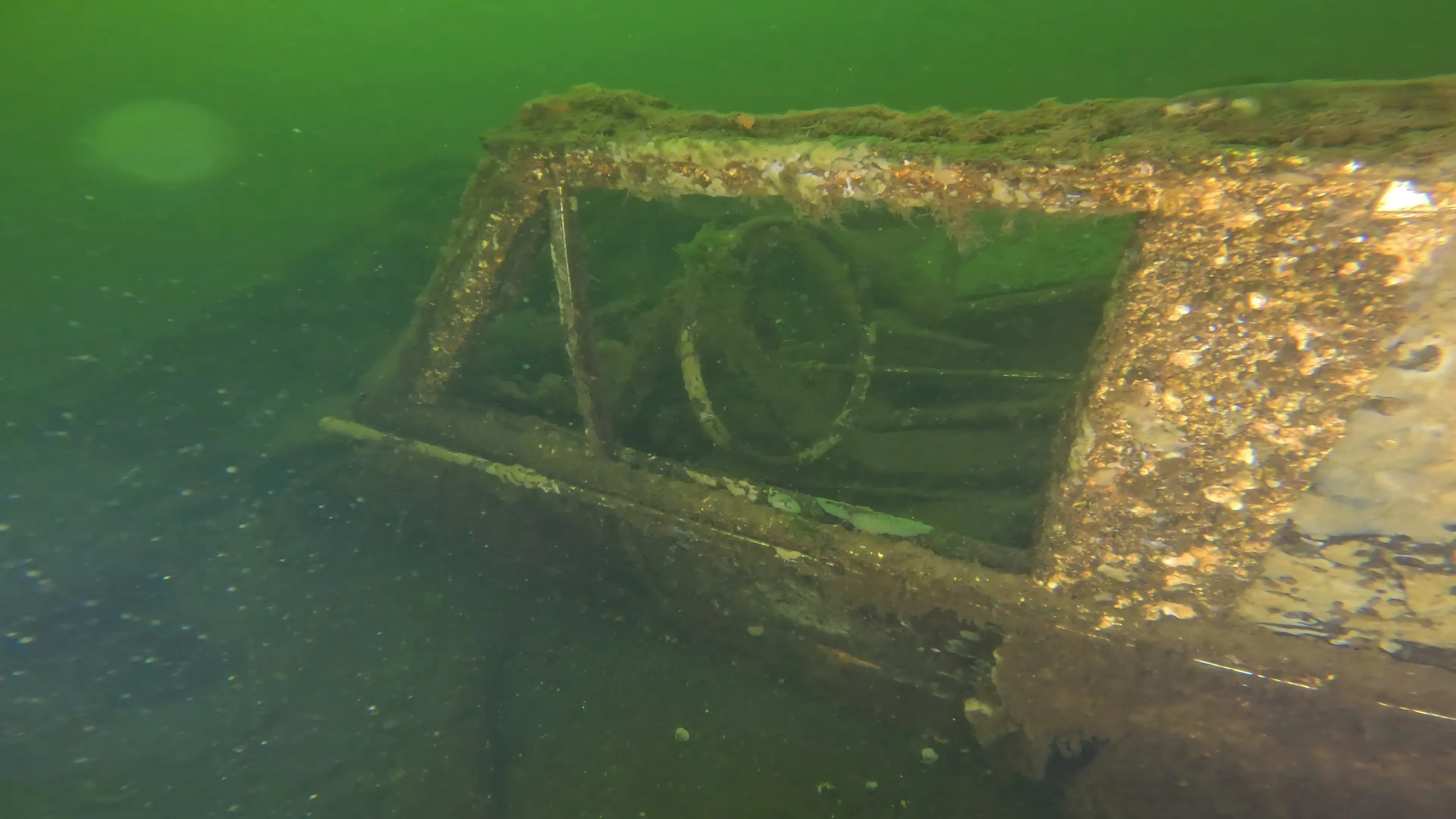
Shipwreck City is an ongoing effort to document, photograph, and share the sunken vessels and debris resting on the floor of Lake Union — one of Seattle's most beloved waterways. Its bottom holds a remarkable record of the past: a hidden landscape shaped over generations as vessels and debris collect on the lakebed.
Many of these submerged sites are unknown to the people who swim, paddle, sail, and fly above them each day. Shipwreck City brings this hidden world into view. By creating a visual archive of each site, the project shows how the lake continues to evolve. It invites us to think about preservation, pollution, and our shared responsibility to care for urban waterways.
Through photography, video, and research, we aim to make these underwater stories accessible while encouraging deeper connection to Lake Union and its connected waterways. For the fuller story of who has lived on, worked, and explored this lake before us, see our History page.
Phil Parisi is the project lead and unmanned systems pilot. A robotics researcher and Seattle rookie, Phil embraces Lake Union and the surrounding waters through sailing, scuba diving, and paddle boarding. The existance of 'unknown' lakebed targets in his new backyard drove him to start Shipwreck City. Phil holds a Masters Degree in Ocean Engineering from the University of Rhode Island and previously work for U.S. National Laboratories.
Libbie Barnes is the associate curator of exhibits and enagement lead at MOHAI. Her background in Maritime Studies and eight years working in museums brings key historical perspectives and community connections, which elevates this project to new levels. Libbie holds a Masters Degree from the University of Washington in Museum Studies.
Evan Weber serves as Shipwreck City’s Digital Archivist, helping transform underwater discoveries into an accessible public archive. With a background in archaeology, museum studies, and public history, he reviews dive records and historical sources and develops public-facing overviews that make Lake Union’s submerged history easier to search, understand, and share. Evan holds a Master’s Degree in Museum Studies from Johns Hopkins University and is passionate about preserving cultural heritage by uncovering the human stories behind artifacts and bringing them to life through research, storytelling, and interpretation.
Captain George Spano is an experienced boat captain, fisherman, and ocean conservationist. His interest in marine robotics lead to his involvement as a boat captain for ROV deployments around the Puget Sound.
Shipwreck City stands on the shoulders of prior efforts by researchers, divers, and filmmakers who mapped and documented Lake Union's wrecks long before our first ROV dive — from Coastal Sensing and Survey's baseline side-scan sonar map to DCS Films' decade of dive footage. When comparing those two datasets, the number of surveyed targets (~100) greatly exceeded the number of wrecks ever filmed (~50) — a gap that became the reason Shipwreck City exists. Our role is to consolidate these disparate historical sources, capture high-resolution video of each target using ROVs, and republish the updated underwater archive in one place. Read the full story on our History page.
Target locations are obtained via CSS side scan surveys, other records, or word of mouth. Then, an ROV equipped with a side scan sonar is deployed at the site. The ROV first scans the nearby area to locate the target, then swims closer to film the wreck. Attempts are made to find any identifying criteria (e.g. hull names, registration number) and fully capture all aspects of the target. We do not disturb the wrecks or remove artifacts; great care is taken to neither disturb the target itself nor the environment. After each dive, data is cross-referenced with existing sources, the archive is updated, and images uploaded. All data is made publicly accessible as it is acquired, with field work planned throughout 2026.
Upon completition of discrete areas, the team will corroborate the dataset's details with local historians to confirm consistency and accuracy. Shipwreck City takes all measures to issue errorless datasets, but this cannot be guranteed.
ROV Platform: Blue Robotics BlueROV2 with Heavy Add-on. 8 thrusters, 4 lumen lights, and the Newton Gripper. BlueOS, Cockpit for piloting. Built on the Ardupilot Ardusub stack.
Sensors: port-mounted Cerulean Sonar 450kHz FS450.
Video: 4K 30fps GoPro Hero12. On-board 1080p for live piloting. Insta360 X2 for creative shots. Drone footage with DJI Mini Pro 4.
We are currently focused on Lake Union and the connecting waterways. Future phases may expand to Lake Washington, and greater Puget Sound. If you have information about a wreck not in our archive, we want to hear from you!
If you would like to support Shipwreck City — whether through dock access, a letter of support, vessel time, financial support, or a connection in the community — we would love to hear from you.
Lake Union & Connecting Waterways
Seattle, Washington
47°37'N 122°20'W
We are moved by the generosity of the community. Every donation moves the archive forward.
Support the Project →From the Duwamish to today — the full story of who has lived on and explored this lake.
Read the History →
Plain HTML/CSS/JS
Leaflet.js (maps)
CartoDB dark tiles
Hosted on GitHub Pages